
01.1
Sourcing & supply chain risk
Spatial risk scoring of suppliers, farms and sourcing regions using global ESG, land use and climate datasets.
Pillar 01 · ESG spatial risk assessment & compliance
Regulations such as the EU Deforestation Regulation (EUDR) and the Corporate Sustainability Reporting Directive (CSRD) ask companies to know where their products come from and what is happening on that land. We turn location data into risk evidence your sustainability, sourcing and compliance teams can act on.
Background
Most ESG risk work starts with global datasets and ends with a score. The hard part is in between: choosing the right indicators, joining them to your suppliers or sites, and making sure the method is transparent enough to defend in front of auditors, investors and regulators.
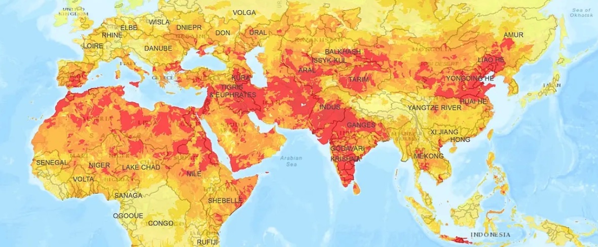
Our team's experience covers both sides of that problem. At WWF Germany, that meant technical leadership of the global Water Risk Filter, a platform used by companies and financial institutions to assess water risk across their operations. More recently, at Rainforest Alliance, it meant reviewing the methodology behind sourcing risk assessments for agricultural suppliers and integrating high-resolution ESG datasets into their risk models.
What we offer
Location-based risk frameworks that combine global ESG datasets with your sites and suppliers, built to meet EUDR, CSRD and other reporting requirements.
Spatial risk scoring of suppliers, farms and sourcing regions using global ESG, land use and climate datasets.
Independent review of existing risk assessment protocols, with clear recommendations to improve how risk is detected and reported.
Basin-level water scarcity, flooding and physical risk screening for sites, suppliers and investments.
Risk assessment and geolocation evidence for the commodities covered by the EU Deforestation Regulation.
Location-based data for the environmental topics of the ESRS, such as climate, water and biodiversity, to support materiality assessment and disclosure.
Step-by-step plans to move spatial risk models from analysis into everyday company workflows.
Track record
Related work
Tell us briefly about your project. We usually reply within one working day.