
02.1
Land cover & land use mapping
Classification of land cover and land use from satellite imagery, at landscape, national or transboundary scale.
Pillar 02 · Spatial analysis for conservation
Conservation programmes need to know what is changing on the ground, where, and how fast. We map habitats and land cover, track change over time and build monitoring systems that show whether a programme is working.
Background
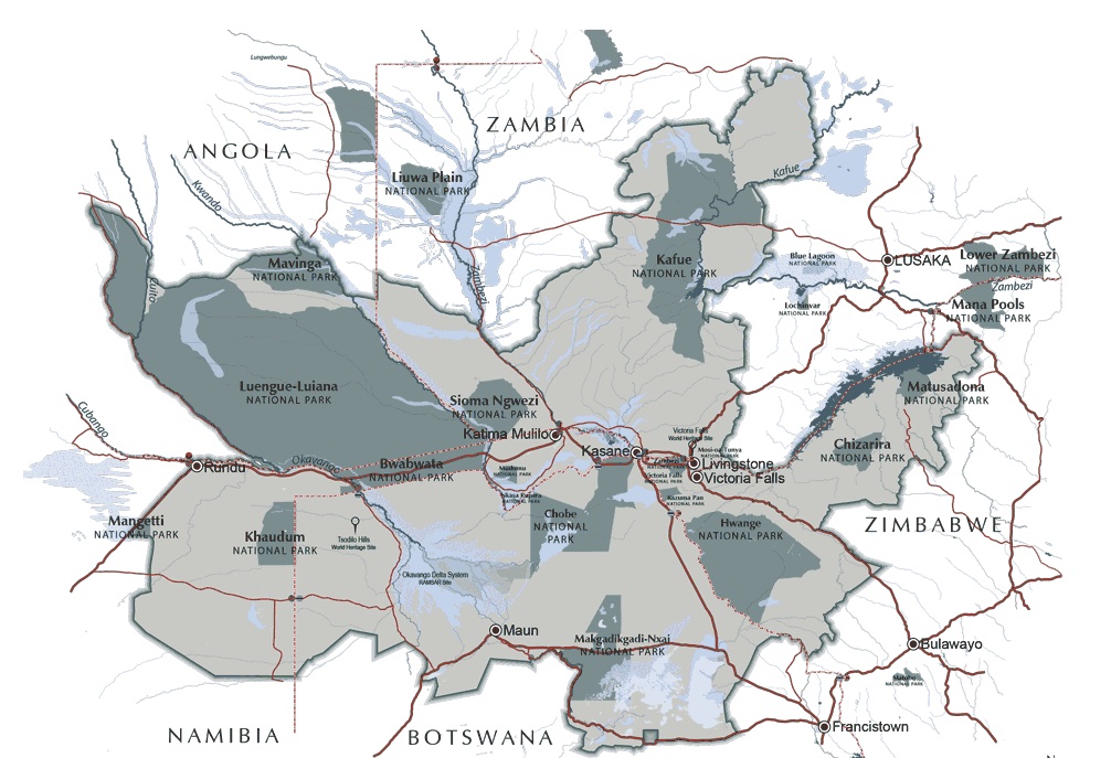
Our team's experience includes five years at WWF Germany, supporting international conservation programmes with GIS and remote sensing. That covered landscape-scale work in the Kavango-Zambezi Transfrontier Conservation Area (KAZA), which spans five countries in southern Africa: land cover mapping, habitat change detection with the BFAST time-series algorithm, and story maps to share the results.
Good monitoring also depends on good field data. Our team's experience also includes leading field data collection campaigns at the Institute for Environmental Research in the Amazon (IPAM) to build spatial land use models, and modelling land use change and urban growth in Accra, Ghana, at Humboldt-Universität zu Berlin.
What we offer
Mapping and monitoring for conservation programmes, from landscape-scale land cover change to the habitats and species that depend on them.
Classification of land cover and land use from satellite imagery, at landscape, national or transboundary scale.
Time-series analysis (such as BFAST) to detect where habitats are degrading, recovering or being converted.
Indicator frameworks and monitoring systems to measure biodiversity and ecosystem health over time.
Design of sampling and field campaigns, and integration of field data with remote sensing models.
Spatial analysis of the benefits nature provides, and of climate impacts on key sites, to support planning.
Clear visual products for programme teams, donors and the public.
Track record
Tell us briefly about your project. We usually reply within one working day.